
USPS Postal Zones 1–9: Costs & Delivery Times (2026)
If you’ve ever shipped a package in the United States, you’ve been affected by USPS postal zones, even if you didn’t see them on the label. These invisible boundaries are the backbone of how the U.S. Postal Service prices its services. Understanding how they work is the key to avoiding costly surprises and making smarter shipping decisions.
Think of it this way: the farther your package travels, the more it generally costs to send. USPS postal zones are simply the system used to measure that distance. Getting a handle on this concept can help you save money, set realistic delivery expectations for your customers, and streamline your entire shipping process.
What Exactly Are USPS Postal Zones?
A USPS Zone is a geographical area the U.S. Postal Service uses to measure the distance a package travels from its origin to its destination. The country is divided into zones numbered 1 through 9. Zone 1 represents a very local shipment, while Zone 9 covers the most distant U.S. territories.
The key thing to remember is that these zones are not static regions like states. Instead, they are dynamic and calculated for every single shipment based on where it starts and where it’s going. A package sent from New York to a neighboring city might be in Zone 1, but a package sent from that same New York address to California could be Zone 8. This distance based pricing model is built into popular services like Priority Mail and USPS Ground Advantage.
How USPS Calculates Zones Using ZIP Codes
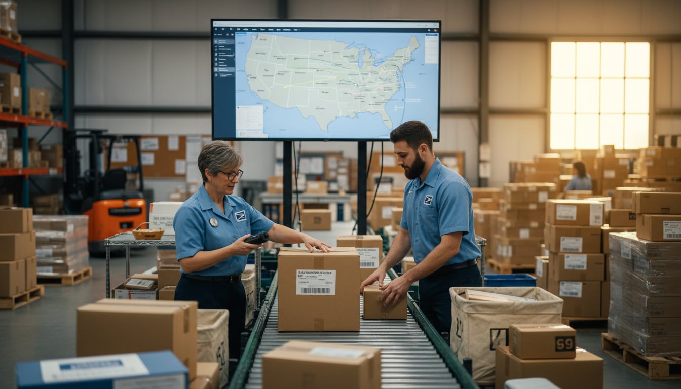
The magic behind USPS postal zones lies in a simple comparison of ZIP codes. Specifically, USPS looks at the first three digits of the origin and destination ZIP codes and uses an internal zone chart to determine the correct zone for that specific route.
This is a dynamic calculation for each individual shipment. The USPS even offers an official online tool called “Get Zone for ZIP Code Pair” where you can enter the starting and ending ZIP codes to see the zone number. This means the zone for a package going from Los Angeles to St. Louis (Zone 7) will be completely different than one going from Dallas to St. Louis (Zone 4). For a step-by-step breakdown of other price factors beyond zones, see our guide to calculating shipping costs.
The Distance Range for Each USPS Zone
To help visualize the journey, each zone corresponds to an approximate mileage range. While the official calculation is based on ZIP code groupings, these distances give you a great general idea of how far your package is traveling.
- Zone 1: 1 to 50 miles (Local)
- Zone 2: 51 to 150 miles
- Zone 3: 151 to 300 miles
- Zone 4: 301 to 600 miles
- Zone 5: 601 to 1,000 miles
- Zone 6: 1,001 to 1,400 miles
- Zone 7: 1,401 to 1,800 miles
- Zone 8: 1,801 miles or more (Coast to coast)
- Zone 9: Freely associated states and U.S. territories like Puerto Rico, Guam, and American Samoa.
Zone 8 generally covers the farthest points within the continental U.S., while Zone 9 is reserved for destinations outside of it.
How Zones Directly Impact Your Shipping Rates
The relationship between USPS postal zones and shipping cost is straightforward: the higher the zone, the higher the price. For services that are priced based on weight and distance, a package will always cost more to ship to Zone 8 than it does to Zone 2, assuming all other factors are identical. However, USPS Flat Rate boxes price by box size rather than distance, which can be cheaper for long-zone shipments.
The difference can be significant. For instance, a 2 pound package might cost around $5 to ship to a nearby Zone 2 address but jump to $12 for a cross country Zone 8 destination. That’s more than double the cost for the exact same item. This price jump becomes even more dramatic for heavier packages. A 5 pound package could cost around $7.90 to ship to Zone 2 but a staggering $18.75 to Zone 8. For businesses offering free shipping, failing to account for these distant zones can quickly erase profits. A quick check with an online shipping calculator can instantly show you how these costs change across different destinations. If you ship heavier items, see whether UPS or USPS is cheaper for a 20 lb box.
The Effect of Postal Zones on Delivery Times
Cost isn’t the only factor affected by USPS postal zones; delivery speed is also directly linked to distance. As a general rule, a lower zone number means a shorter transit time.
A package shipped to Zone 1 or 2 can often arrive in just 1 to 2 days. In contrast, a standard ground package heading to a Zone 8 address across the country might take 4 to 5 days, and sometimes nearly a week. Even with a faster service like Priority Mail, which USPS advertises as a 1 to 3 business day service, the exact delivery window depends on the zone. For details, read how fast Priority Mail really is.
Shipping with USPS Ground Advantage Across Zones
USPS Ground Advantage (which replaced the First Class Package service) is a popular and economical choice for lighter shipments. For packages sent using this service, local Zones 1 and 2 often see very fast delivery, typically within 1 to 2 days. Because USPS trucks can easily cover up to 150 miles overnight, the cost and time for these nearby zones are nearly identical.
As you ship to farther zones, however, Ground Advantage slows down. A package going from Miami to Houston (Zone 5) could take 3 to 4 days to arrive. The big advantage is that the price remains relatively low even for long distances, but the tradeoff is speed. For non urgent items, it’s an excellent way to manage costs across all USPS postal zones.
A Quick Look at Delivery Times by Zone
While the exact speed depends on the mail service you choose, you can use these general guidelines for planning your shipments under normal conditions.
- Zones 1 to 2: Approximately 1 to 2 business days.
- Zones 3 to 4: Around 2 to 3 business days.
- Zones 5 to 6: Roughly 3 to 4 business days.
- Zones 7 to 8: About 4 to 5 business days, sometimes longer for ground services.
- Zone 9: 5 or more business days, as delivery depends on air or sea transport to territories.
Common Challenges with USPS Postal Zones
Navigating USPS postal zones can present a few hurdles, especially for small businesses.
- Unexpected Costs: The most common problem is underestimating shipping costs for faraway customers. Offering a single flat shipping rate can lead to losses on orders shipped to Zone 8 or 9.
- Inconsistent Delivery Speeds: Promising a uniform delivery time to all customers is difficult when a shipment to Zone 2 takes one day and a shipment to Zone 8 takes five. Managing customer expectations is critical.
- Complex Fulfillment: Zones are calculated from the origin point. If you ship from multiple warehouses, the zone to the same customer can change, complicating your logistics and costs.
How to Avoid Costly Shipping Adjustments
A shipping adjustment is an extra charge applied after you’ve already paid for postage because some detail on your label was incorrect. A “Zone Adjustment Charge” can happen if the origin ZIP code on your label doesn’t match where you actually dropped off the package. The USPS automated systems will catch the discrepancy and bill you the difference. To avoid common mistakes, review your shipping label: a complete guide.
Here’s a simple tip to avoid this: always use the correct “Ship From” ZIP code. If you print labels at home but drop packages off at a Post Office in a different town, make sure you update the ship from ZIP code in your shipping software before buying the label. This simple step can save you from a string of annoying fees. Or schedule a free USPS pickup so you can ship from the same ZIP without an extra trip.
Using a Zone Map for a Smarter Fulfillment Strategy
For growing businesses, a fulfillment strategy that uses USPS zone maps can be a game changer. This involves strategically placing your inventory in different warehouses across the country to be closer to your customers. The goal is to reduce the average zone number for your shipments, which in turn lowers costs and speeds up delivery.
For example, a company based in Los Angeles might find that most of its East Coast orders are being sent to Zone 8. By stocking some inventory in a New Jersey warehouse, those East Coast orders can now be fulfilled from a much closer location, turning a Zone 8 shipment into a Zone 2 or 3 shipment. This multi warehouse approach is how some large fulfillment providers can offer 1 to 2 day delivery to nearly 98% of the U.S. population. By analyzing your own customer data and using a zone map, you can find the optimal locations to store your products, protecting your margins and delighting customers with faster shipping. If you’d rather outsource multi‑warehouse fulfillment, explore third‑party logistics (3PL) options.
To get started, try mapping out your recent orders and use a rate comparison tool to see how your costs would change if you shipped from a different origin ZIP code. Understanding your USPS postal zones is one of the most effective ways to build a more efficient and profitable shipping operation.
Frequently Asked Questions About USPS Postal Zones
1. What is the difference between USPS Zone 8 and Zone 9?
Zone 8 typically represents the farthest shipping distances within the continental United States, like shipping from one coast to the other (over 1,801 miles). Zone 9 is reserved for shipments going to non contiguous states and territories, such as Hawaii, Alaska, Puerto Rico, Guam, and other U.S. territories.
2. How do I find the USPS postal zone for my shipment?
The easiest way is to use the USPS “Get Zone for ZIP Code Pair” tool on their official website. You simply enter the origin ZIP code and the destination ZIP code, and it will tell you the correct zone number.
3. Are USPS postal zones the same for UPS and FedEx?
No. While all major carriers use a similar zone based system for distance pricing, their specific zone charts and numbering systems are different. You cannot use a USPS zone chart to estimate UPS or FedEx rates, or vice versa. For a practical comparison, see which is cheaper, UPS or USPS.
4. Does the weight of a package affect its postal zone?
No, the weight and dimensions of a package do not affect its zone number. The zone is determined exclusively by the distance between the origin and destination ZIP codes. However, weight and dimensions are used alongside the zone to calculate the final shipping price.
5. Why did my shipping cost so much for a short distance?
While USPS postal zones are a primary factor in cost, other things can also increase the price. These include package weight, dimensions (dimensional weight), the shipping service chosen (like Priority Mail Express), and any applicable surcharges for non standard package sizes or rural delivery areas.